Arctic Ship Traffic data Project – Development of a circumpolar Arctic shipping database (Phase 2)
The main source of shipping activity data is by access to use the information collected by the Automatic Information System (AIS). The International Maritime Organization (IMO) requires all ships over 300.000 GT to carry AIS transmitters. ASTD will use the data to create shipping activity-based maps and graphs of trends, traffic, shipping routes and types of ships, in addition to other information of importance, including the type of fuel burned.
This information will lead to increased knowledge and ensures best practice will be followed for any policy recommendation for Arctic shipping activities, including for environmental impact assessments, risk assessments, economic impact assessments, infrastructure developments and policy recommendations. In addition, it will provide researchers, experts, think tanks, students, governments, institutions, organizations and the private sector with the opportunity to access Arctic shipping information for their own analysis.
PAME's Arctic Ship Traffic Data (ASTD) project was developed in response to a growing need to collect and distribute accurate, reliable, and up-to-date information on shipping activities in the Arctic. Launched in February 2019, the system now provides detailed data on all shipping activities in the region. Visit the PAME website for more information.
Applicant: PAME International Secretariat
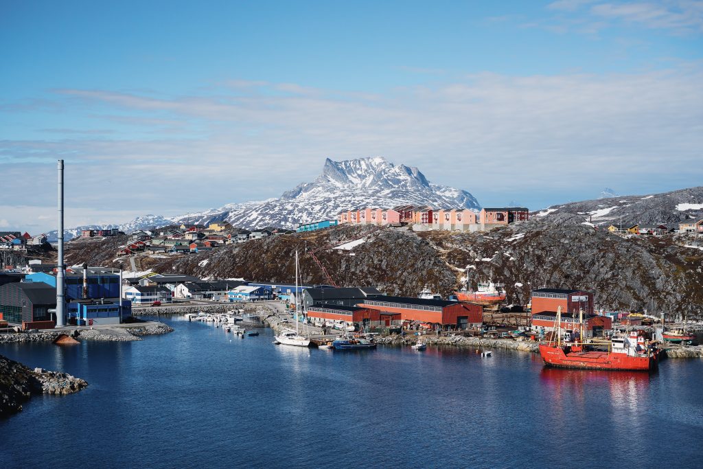
Countries: Norway, Denmark, Finland, Iceland, The United States, Russia, Canada, Greenland, Sweden
Project start 2016, expected to be finalized in 2017.
Copyright pictures: unsplash.com